Top 10 types of clouds
The types of clouds they are the different forms that clouds assume, meteorological manifestations of atmospheric water vapor. Clouds accumulate in masses of different shapes and sizes, unevenly distributed over the earth's surface.
The first attempt at cloud classification was made by the English pharmacist Luke Howard in 1803. The first cloud catalog was published in 1896 as the "International Cloud Atlas", the most recent edition being that of 2017.
Clouds are mainly classified into ten groups, called genres, which are subdivided into species, based on their shape or internal structure.
| Cloud genre | Species | Level | Cloud characteristics |
|---|---|---|---|
| Cirro (Ci) |
fibratus uncinus spissatus castellanus floccus |
High: 5-13 km temperate regions 6- 18 km tropical regions |
Fibrous, silky, whitish appearance. Composed of ice crystals. |
| Cirrocumulus (Cc) |
stratiformis lenticularis castellanus floccus |
High: 5-13 km temperate regions 6- 18 km tropical regions |
Thin and white. Small elements: form of grains, waves, fused or separated. Composed of ice crystals. |
| Cirrostratus (Cs) |
fibratus nebulosus |
High: 5-13 km temperate regions 6- 18 km tropical regions |
Appearance of diffuse transparent and whitish veil. Produces halo phenomena. Composed of ice crystals. |
| Altocumulus (Ac) |
stratiformis lenticularis castellanus floccus volutus |
Half: 2-7 km temperate regions 2- 8 km tropical regions |
Patches of white and / or gray clouds with shading. Presence of sheets, rounded masses, rolls. Composed of water droplets. |
| Altostratum (As) | - | Usually medium level, but can go high. |
Gray or bluish of great horizontal extension. Prevents the formation of shadows. Composed of water droplets and ice crystals. |
| Nimbostratus (Ns) | - | Usually medium level. |
Dense gray clouds. It occurs with strong winds. Composed of supercooled water droplets and raindrops, ice crystals or snow. |
| Stratocumulus (Sc) |
stratiformis lenticularis castellanus volutus asperitas |
Under: Earth's surface up to 2 km |
Patches, sheets or layers of gray and / or whitish cloud. Presence of elements together or separately. Composed of water droplets, accompanied by rain and snow. |
| Stratum (St) |
nebulosus fractus |
Under: Earth's surface up to 2 km |
Gray layers with undefined edges. Evenly covers the sky. Outline of the Sun is discernible. Composed of small droplets of water. |
| Cumulus (Cu) |
humilis mediocris congestus fractus |
Base at low level, but vertical height of the cloud can reach medium and high levels. |
Cottony, white and dense. Flat base parallel to the ground. Composed mainly of water droplets. |
| Cumulonimbus (Cb) |
calvus capillatus |
Base at low level, but vertical height of the cloud can reach medium and high levels. |
Heavy and dense. Large vertical extension. Anvil shape. Composed of water droplets in the lower part and ice crystals in the upper part. |
1. Cirrus
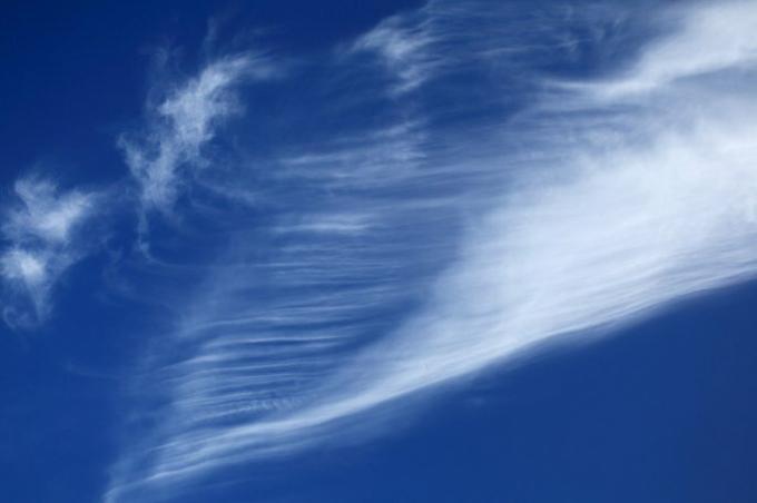 Cirrus clouds are filamentous-looking clouds, white in color and silky in appearance. It does not present small elements. The name "cirrus" derives from Latin cirrus, which means "curl".
They are high level cloudsThey appear at altitudes above 6,000 m and can reach up to 18,000 m. They are made up of ice crystals, which gives them a diffuse appearance, appearing in the sky as faint white lines. One of its ends is curved in the shape of a hook with an orientation related to the wind at those levels.
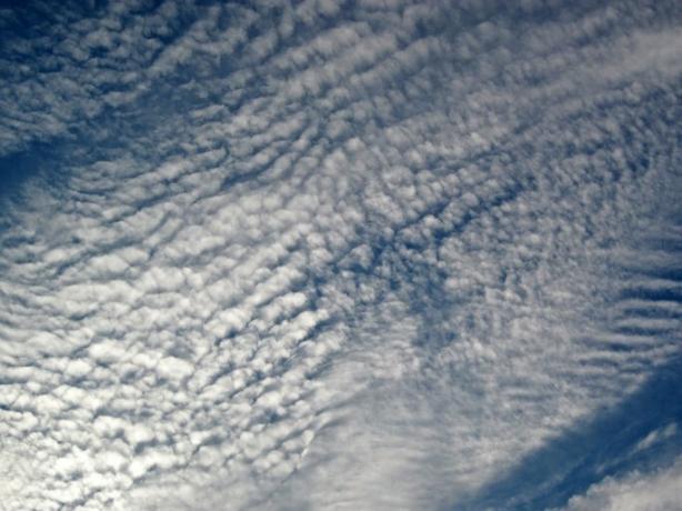
2. Cirrocumulus
Cirrocumulus clouds are thin, white, shadowless clouds. Its name derives from Latin cirrus Y cumulus, which mean "curl" and "accumulation", respectively. They are clouds of high levels, composed of ice crystals.
They are made up of very small elements, in the form of grains or waves, fused or separated and arranged more or less regularly.
They differ from cirrus and cirrostratus in that they are wavy or subdivided into very small clouds; They differ from Altocumulus in that their elements are very small and without shading.
3. Cirrostratus

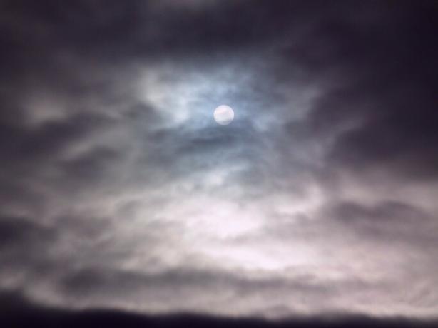
Cirrostratus are high-level clouds with a transparent, whitish veil, fibrous (hair-like) or smooth appearance, which partially or completely cover the sky. Generally produces halo phenomena.
The name "cirrostratus" derives from the Latin cirrus which means "curl" and stratus which means "spread, cover with a layer".
They are made up of ice crystals. It is not thick enough to prevent shadows on the floor.
It differs from:
- cirrus clouds because it is presented in the form of a veil with a great horizontal extension;
- cirrocumulus and altocumulus due to the lack of large regular structures and their general diffuse appearance;
- the Altostratus for their thinness and for showing a halo effect.
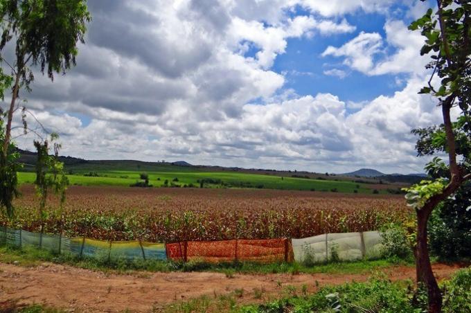
4. Altocumulus
They are clouds of medium level, between 2 and 8 km above the earth's surface. It appears as patches or layers of white and / or gray clouds with shading, composed of sheets, rounded masses, rolls, which are sometimes partially fibrous or diffuse.
The name "altocumulus" derives from Latin altum, which means "height" and cumulus, which means "accumulation, heap, pile".
They are composed mainly of water droplets, so they have a low transparency.
Altocumulus can sometimes be confused with cirrocumulus, but if they have shading they are by definition Altocumulus.
5. High stratum
The Altostratus are clouds of medium level that can rise to high levels. It is greyish or bluish in color, with layers of striated, fibrous or uniform appearance, which totally or partially cover the sky. It has parts thin enough to reveal the sun at least vaguely, such as through frosted glass.
Altostratus are made up of water droplets and ice crystals. Its name derives from Latin altum Y stratus.
Altostratus have a large horizontal extent and do not show a halo phenomenon. Prevents objects on the ground from forming shadows.
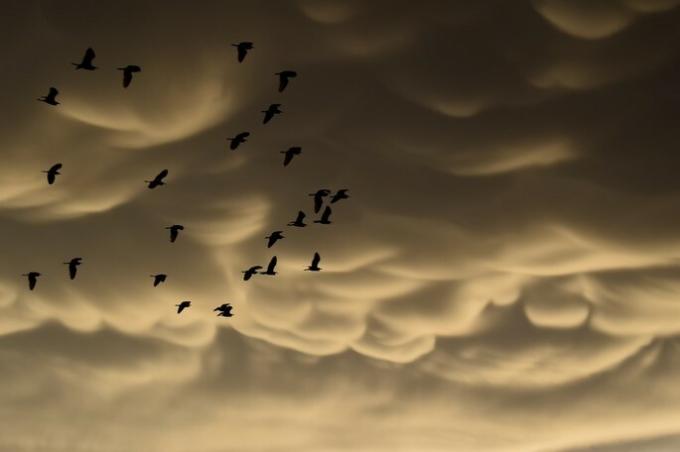
6. Nimbostratus
Nimbostratus are clouds of medium level, which usually produce rain, snow or hail. They are characterized by:
- be a layer of gray clouds, often dark;
- diffuse appearance due to rain or snow falling to the ground;
- dense and opaque, thick enough to cover the Sun or Moon.
- Appears illuminated from within.
- They cover a large horizontal and vertical area.
The name "nimbostratus" derives from Latin nimbus, which means "rainy cloud" and stratum, which means "spread, cover with a layer".
Nimbostratus develop from the thickening of the Altostratus, but have a darker gray color than the Altostratus.
It is composed of supercooled water droplets and raindrops, snow crystals or snow flocks. They occur with strong winds.
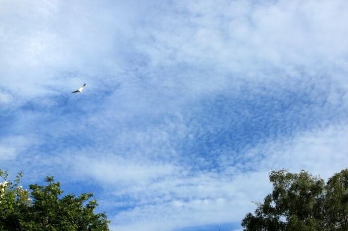
7. Stratocumulus
Stratocumulus clouds are low-level clouds, from the Earth's surface up to 2 km. They are patches, sheets or layers of gray and / or whitish cloud, which almost always have dark parts. Composed of mosaics, rounded masses, rolls, which are not fibrous and the mayor cannot be fused. Most regularly arranged small items have an apparent width of more than five degrees.
The name "stratocumulus" derives from the Latin stratus Y cumulus. Stratocumulus can be formed from Altocumulus or Nimbostratus.
Stratocumulus differs from:
- cirrostratus for being more opaque.
- the Altostratus, Nimbostratus and Strata by the presence of elements, together or separately.
- Clusters, in which the elements usually occur in groups or patches and generally have flat tops.
- The appearance of Stratocumulus is similar to that of Altocumulus, but due to its low level its elements look larger and smoother.
It is made up of water droplets, sometimes accompanied by drops of rain or snow.
8. Strata
Stratus clouds (from the Latin stratus, "extended") are clouds of low level They appear in gray layers, with indefinite edges that evenly cover the sky. It can produce drizzle, snow, or snow grains. When the Sun is visible through the cloud its outline is clearly discernible. It does not produce halo phenomena.
They are usually formed by orographic ascent or by the smooth sliding of warm and humid air over cold and dry air. Strata can develop from stratocumulus.
The strata are presented with light and calm winds and are distinguished from Altostrata by the fact that they do not blur the edge of the Sun.
They are made up of small droplets of water. When the clouds are thin they can produce a crown around the sun or moon.
9. Cumulus clouds
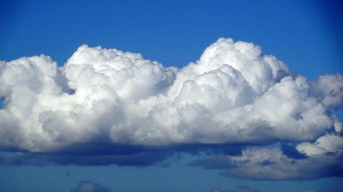
Cumulus clouds (from the Latin cumulus, "agglomeration" or "heap") are low-level, but high-altitude clouds. They are characterized by:
- dense cotton or cauliflower appearance;
- defined contours in the form of ascending mounds, domes or towers;
- bright white on the upper edges with a dark hue at the base;
- markedly vertical evolution;
- have a flat base parallel to the ground
The strata are composed mainly of water droplets.
They differ from Altocumulus and Stratocumulus in the fact that cumulus clouds are separated and shaped like a dome. If it occurs with rain it is of the drizzle style. It is not accompanied by lightning, thunder or hail.
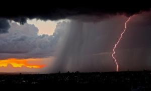
10. Cumulonimbus
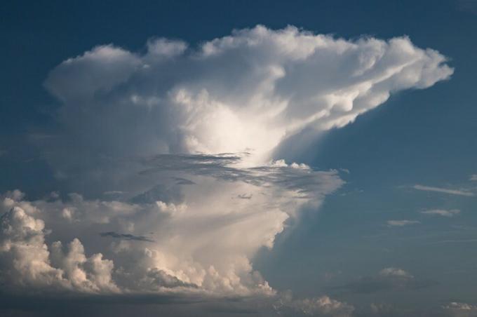
Cumulonimbus clouds are low-level clouds at the base, whose height can reach high levels. They are heavy and dense clouds, with considerable vertical extension, in the form of mountains or huge towers. At least part of its upper portion is slightly smooth, fibrous or striated, and almost always flattened, this part often extends in the shape of an anvil or large feather.
It is composed of water droplets in the lower part and ice crystals in the upper part. It is common in tropical and temperate regions.
Below the base of this often very dark cloud, there are often low, uneven clouds fused with it or not, and precipitation sometimes in the shape of a virga.
It develops from cumulus clouds. It is distinguished from nimbostratus in that the rain is of the drizzle type and can be accompanied by lightning, thunder and hail.
You may also be interested in seeing 21 natural phenomena.
Reference
World Meteorological Organization. International Cloud Atlas. Digital edition 2017.